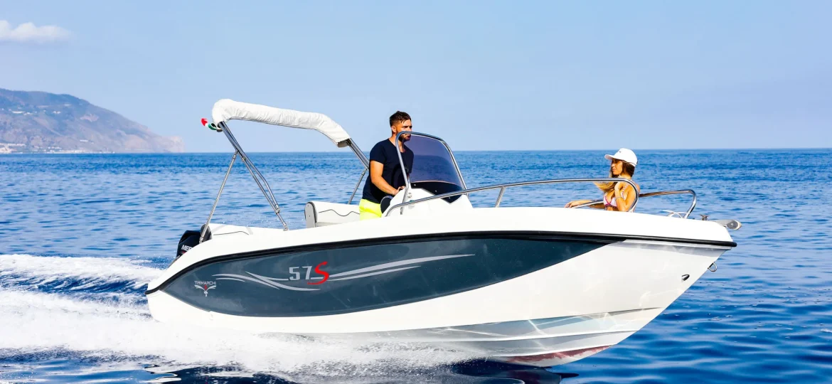
Sailing the Costa Brava is a unique experience, but doing it safely and efficiently requires planning and proper tools. With technological advances, boaters can count on a wide range of mobile applications that facilitate navigation, improve safety and optimize the experience at sea.
From weather apps to nautical mapping tools, applications to find safe anchorages and maritime security systems, the digital world offers innovative solutions for all types of sailors, whether beginners or experts.
In this article, we explore the best apps for boaters, essential for those who want to enjoy a boat rental on the Costa Brava with complete confidence.
1. Weather apps for boaters
Before setting sail, it is essential to know the weather conditions to ensure safe navigation. Here we present some essential applications to predict changes in the climate:
📱Windy
🌊 Ideal for: Monitoring wind, waves and temperature in real time.
Windy is one of the most complete applications for checking marine weather forecasts. Shows interactive maps, detailed information on winds, waves and storm fronts.
✅ Available for iOS and Android.
✅ Real-time data with accurate weather models.
✅ Ideal for navigation on the Costa Brava.
📱Windfinder
🌬️ Ideal for: Water sports and coastal navigation.
Windfinder provides information on wind speed and direction, ideal for those who practice sailing, kitesurfing or any nautical activity on the Costa Brava.
✅ Wind and wave predictions with specific models.
✅ Available in free and PRO version with more advanced data.
✅ Integration with maps to view conditions in different areas.
📱 Meteo Consult Marine
⛵ Ideal for: Boaters looking for detailed offshore predictions.
This app offers comprehensive marine weather reports, with weather alerts to keep you informed of any unexpected changes.
✅ Specialized navigation predictions.
✅ Global coverage with detailed tidal information.
💡 Tip: Before renting a boat on the Costa Brava, check the weather forecast to plan the best route and avoid adverse conditions.
2. Mapping and navigation applications
A good digital nautical chart can make the difference between a safe journey and a day with unforeseen events.
📱 Navionics Boating
🗺️ Ideal for: Sailors looking for detailed nautical charts.
Navionics is one of the most used applications in navigation. Provides detailed maps, depth information, routes and nautical points of interest.
✅ Updated letters with accurate data.
✅ Ability to download offline maps.
✅ Alerts for dangers and obstructions in the water.
📱 C-Map
⚓ Ideal for: Planning navigation routes with precision.
C-Map allows you to plot personalized routes and provides detailed data on depths and navigation conditions.
✅ 3D view of the seabed.
✅ Integration with GPS for real-time tracking.
💡 Tip: Use these applications to explore hidden coves on the Costa Brava and discover quiet anchorages where you can enjoy a day of sailing.
3. Applications to find anchorages and ports
If you plan to anchor on the Costa Brava, it is crucial to know the best areas and make sure they are safe.
📱Navily
⚓ Ideal for: Finding protected anchorages and marinas on the Costa Brava.
Navily is a community of sailors who share their experiences about anchorages and ports, providing useful information about the state of the sea, safety and available services.
✅ Opinions from other sailors about anchorages and ports.
✅ Information about rates and services in marinas.
✅ Integration with GPS for real-time navigation.
📱Anchor Watch
⚠️ Ideal for: Monitoring the anchor and preventing the boat from drifting.
If you anchor in a cove, this application issues an alert if the boat moves outside the safety radius.
✅ Simple configuration with customizable alarms.
✅ Ideal for night anchoring or in variable wind conditions.
💡 Tip: Use these apps when renting a boat to ensure you anchor in safe areas without damaging the marine ecosystem.
4. Safety applications at sea
Safety is a priority on any sailing day. These applications will help you be prepared for any unforeseen event.
📱SafeTrx
🆘 Ideal for: Sending emergency alerts in case of problems at sea.
SafeTrx allows you to record your route and share it with emergency services so that they can quickly locate you if necessary.
✅ Real-time monitoring by family or friends.
✅ Emergency alert function.
✅ Available in collaboration with maritime rescue services.
📱MarineTraffic
📡 Ideal for: Tracking vessels in real time.
This app shows maritime traffic in real time, ideal for avoiding collisions or locating nearby vessels.
✅ Identification of boats in the area.
✅ Satellite tracking of commercial and recreational vessels.
💡 Tip: Before going sailing, share your route with someone you trust and bring a cell phone with sufficient battery and GPS connection.
5. Other useful applications for sailors
In addition to the applications mentioned, there are others that can make your browsing experience more comfortable and fun.
📱 Tides Near Me → information about tides and currents in real time.
📱 Dockwa → reservation of moorings in marinas.
📱 Sea Conditions → water temperature data and underwater visibility.
Conclusion
The world of sailing on the Costa Brava has evolved with technology, offering tools that facilitate safety, planning and the experience on board. From knowing the weather conditions to finding the best anchorages, the best applications for sailors have become indispensable allies at sea.
If you are planning to rent a boat on the Costa Brava, at Rent Boat Costa Brava we recommend that you download some of these applications before setting sail. With them, you can navigate with complete confidence and enjoy a unique experience exploring the coast.
🚤🌊 Discover the Costa Brava with the best technology on board. Reserve your boat and begin the adventure!